Read both sides of the line
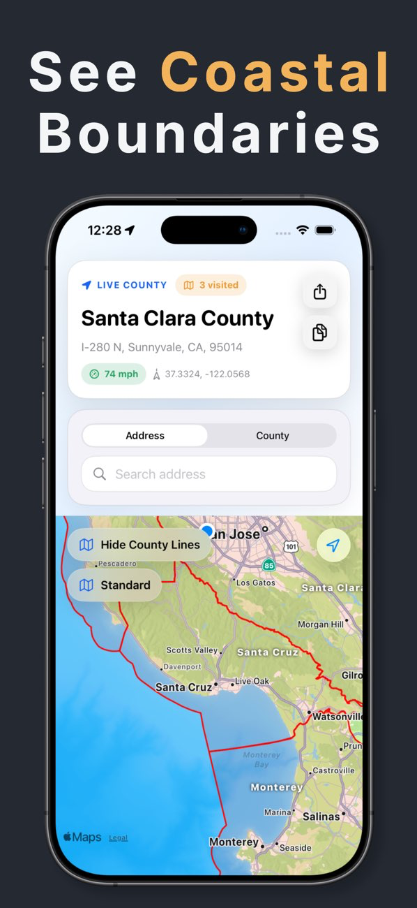
Pan and zoom with county names attached to the boundary overlay. The line scales with the map so nearby counties remain legible across a route or work area.
- County boundary overlays
- On-map county names
- Standard and coastal views
Use the line while you move
Keep your live position on the same map and receive a crossing alert when the detected county changes. The visit can also be added to your county history.
- Live position
- Crossing alerts
- Visited-county history
Understand the boundary source
The app uses built-in U.S. county boundary data for map overlays. Boundaries shown in a navigation app are helpful context, but formal legal or offshore jurisdiction questions should be checked against the responsible government source.