See which county you are in
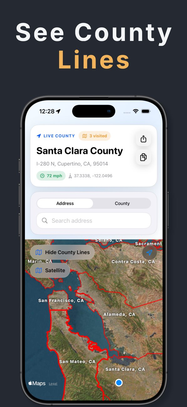
The live county appears beside your current address, coordinates, and speed. You can copy or share those details when the county needs to go into a field note, report, message, or travel log.
- Current county and address
- Latitude and longitude
- Current speed and available FIPS details
Understand the change
A county can change on a road with no obvious sign. Crossing alerts surface the new county as your detected location moves across the boundary.
- County-crossing notifications
- Live map position
- Visited-county tracking
How do I check which county I am in?
Allow location access once, and the current county sits with the address, coordinates, and speed that back it up. Copy or share all of it together so the county never travels as a bare name with no place attached to it.
- Allow location access once
- Read the county beside the live map
- Copy or share the county with its address
Why does my mailing address show a different county?
Mailing addresses follow postal routing, and one city or ZIP code can stretch across two counties. Search the exact street address or drop a point on the map, then turn on county lines to see which side of the boundary the location falls on.
- Exact street address search
- Point-on-map lookup
- County line overlay for the boundary
Know the connection limits
GPS can identify your position without cellular service, and built-in boundary data supports overlays when service is limited. Address search and fresh map tiles may still require a connection.